Travel Guide of Gunung Prau in Indonesia by Influencers and Travelers
Tangkuban Parahu is a stratovolcano 30 km north of the city of Bandung, the provincial capital of: West Java, Indonesia. It erupted in 1826, 1829, 1842, 1846, 1896, 1910, 1926, 1929, 1952, 1957, 1961, 1965, 1967, 1969, 1983, 2013 and 2019.
Download the Travel Map of Indonesia on Google Maps here
Pictures and Stories of Gunung Prau from Influencers
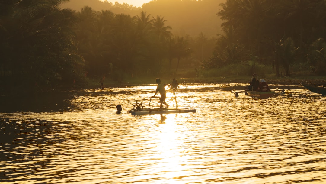
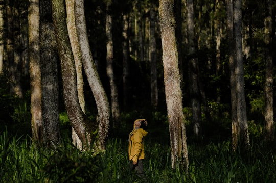
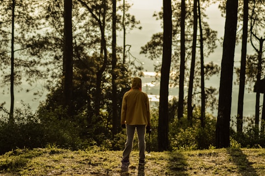
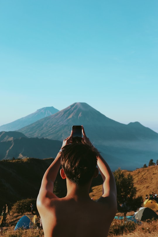
6 pictures of Gunung Prau from Ahmad Syarifudin, Rizknas, Alfian Danial and other travelers
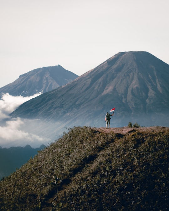
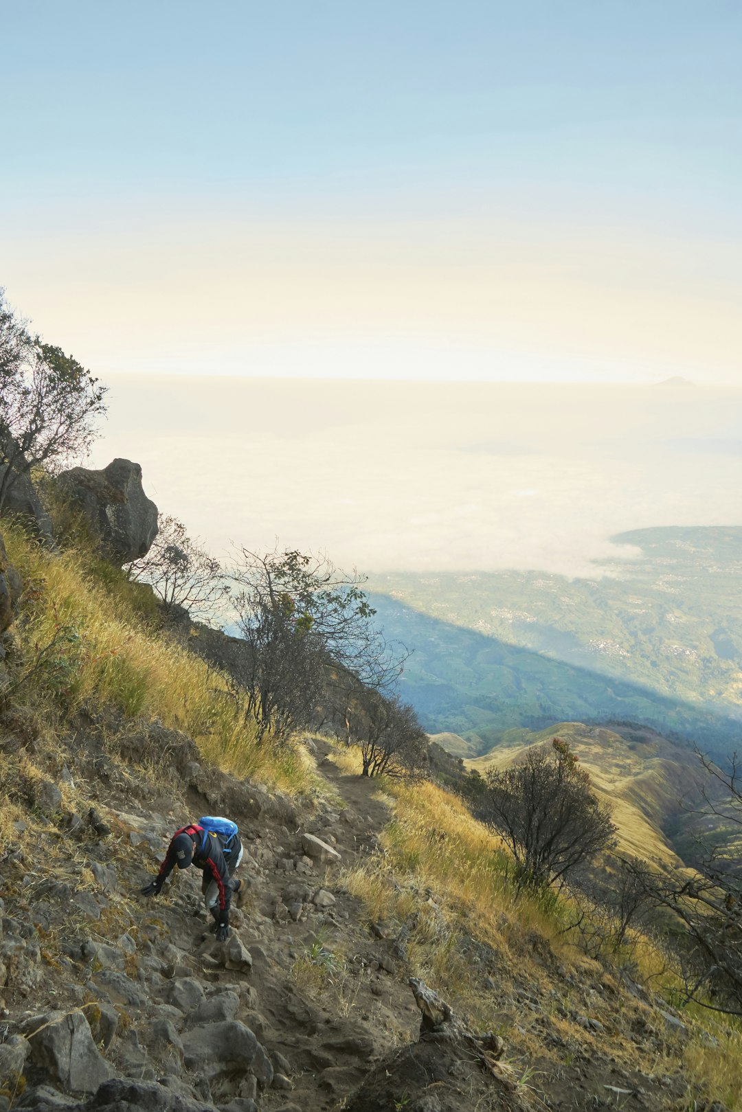
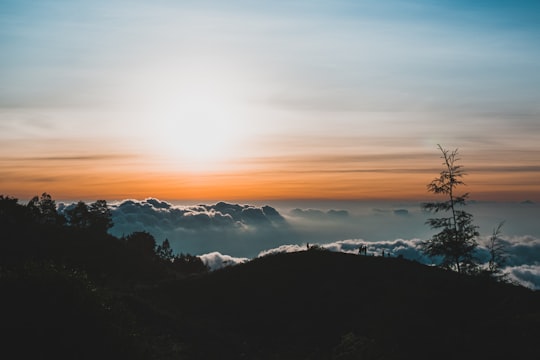
- Amazing perspective of Prau Mountain ...click to read more
- Experienced by @Ahmad Syarifudin | ©Unsplash
Plan your trip in Gunung Prau with AI 🤖 🗺
Roadtrips.ai is a AI powered trip planner that you can use to generate a customized trip itinerary for any destination in Indonesia in just one clickJust write your activities preferences, budget and number of days travelling and our artificial intelligence will do the rest for you
👉 Use the AI Trip Planner
Reviews of Gunung Prau from Travel Influencers
- Mt. Prau is a great place to see the sunrise/sunset
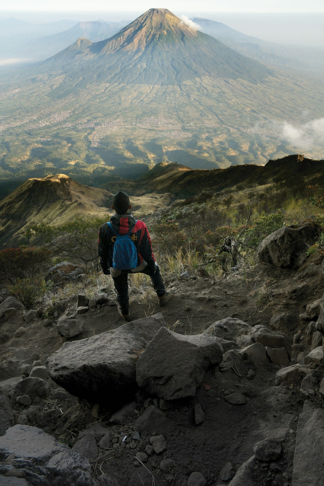
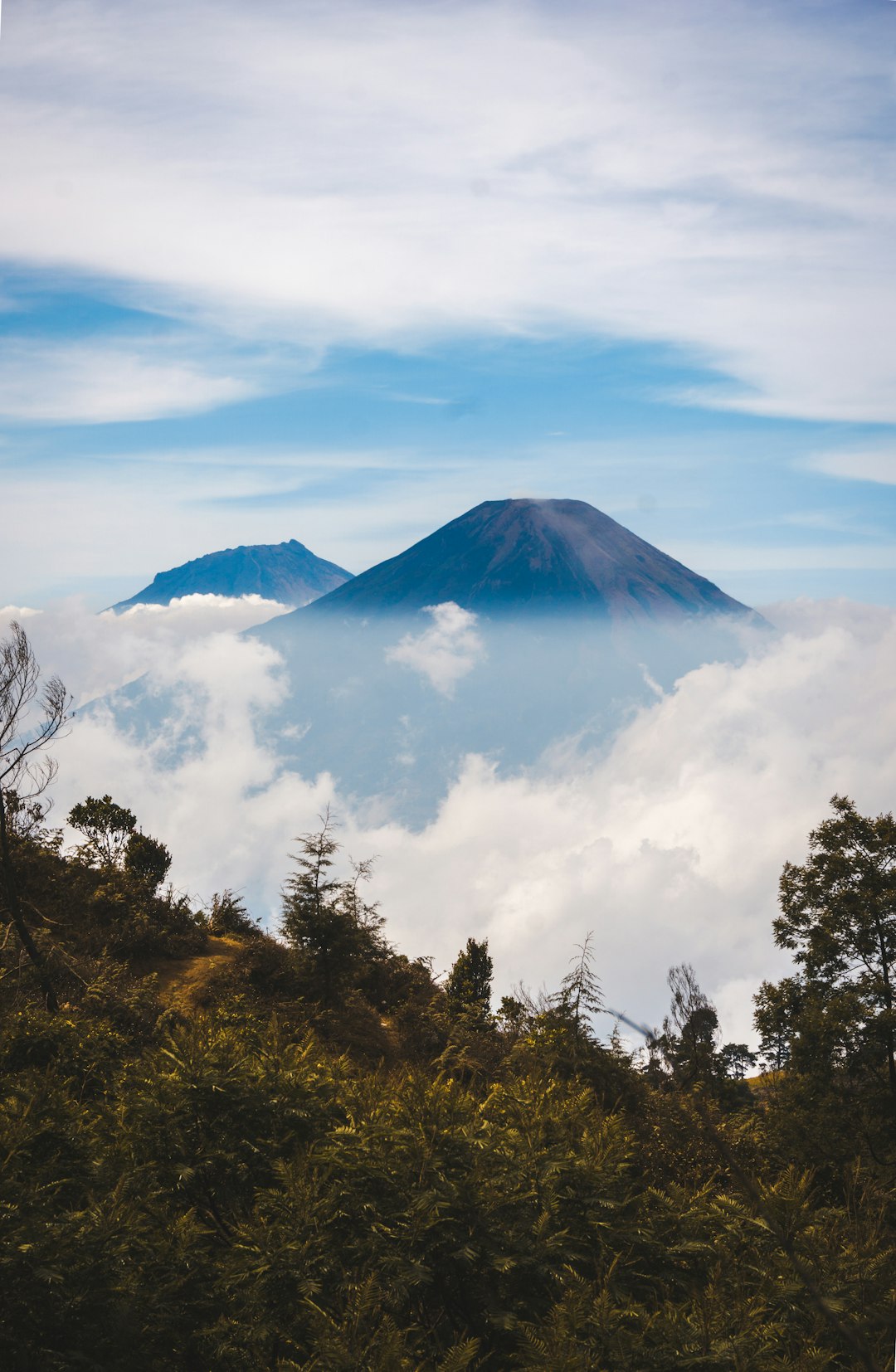
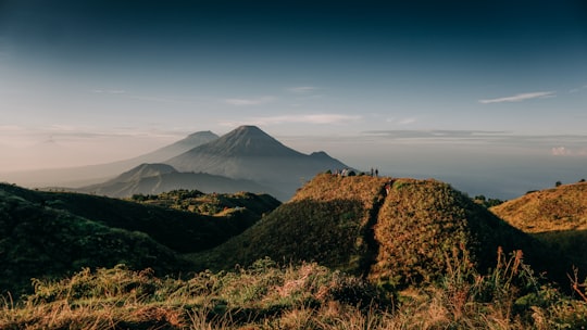
- There are several other mountains visible from the peak of Mt. Prau
- The hike to the basecamp is easy and can be completed in 1hr30min-3hours
- There is no rush to reach the peak unless you want to camp there
- It is recommended to start the hike in the morning to avoid the heat
Book your Travel Experience at Gunung Prau
Discover the best tours and activities around Gunung Prau, Indonesia and book your travel experience today with our booking partners
Map of Gunung Prau
View Gunung Prau on a map with the the closest popular places nearby
Download On Google Maps 🗺️📲
More Travel spots to explore around Gunung Prau
Click on the pictures to learn more about the places and to get directions
Discover more travel spots to explore around Gunung Prau
⛰️ Highland spots ⛰️ Mountain spots ⛰️ Hill spots ⛰️ Mountain bike spotsLearn More about Gunung Prau
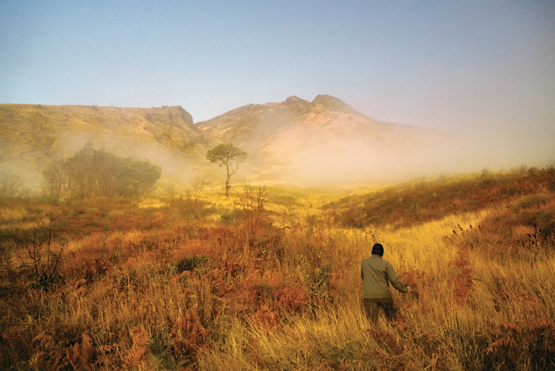
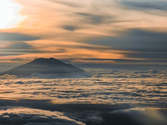
Gunung Prau is a mountain in Indonesia offering the best views of Central Java, Gunung Prau is a dormant volcano located on the Dieng Plateau in Indonesia. Its altitude (2600 m above sea level) accounts for the panoramic view, but it should not be considered a deterrent for inexperienced hikers: the climb begins at the village of Dieng, itself already situated at 2060 m.
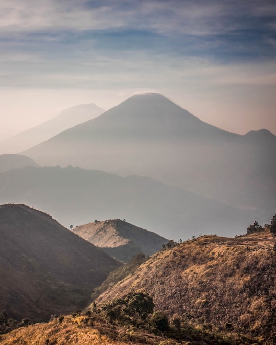
The trail is smooth and well maintained. For a reasonably fit person, it takes about two hours to reach the summit. Many do it at night to be at the top in time for the sunrise, which is a truly magnificent sight. Camping is also a good option: this way you can see the sunrise and sunset. However, as is common in this area, clouds often settle on the mountain from noon onwards, and seeing the sunset is a matter of luck. At night, they descend into the valleys below, and when the sun reappears, it highlights the rows of volcanic cones - Sumbing, Sindoro, Merbabu, Merapi, Slamet - that rise above a solid sea of clouds, as if suspended in a white void.
The sky usually clears shortly after sunset, making Gunung Prau an excellent vantage point for astrophotography - or stargazing, for those with a more romantic bent.
Where to Stay near Gunung Prau
Discover the best hotels around Gunung Prau, Indonesia and book your stay today with our booking partner booking.com
Popular destinations near Gunung Prau
Disover the best Instagram Spots around Gunung Prau here